
NWS and CWIC issues flood warning for SLV and Conejos County


The National Weather Service (NWS) issued a Hazardous Weather Outlook for the next two days, including for the San Luis Valley. The hazards could include flooding.
Beginning June 4, scattered thunderstorms were expected across southern Colorado, some could become severe and produce large hail.
Continuing through June 10, scattered storms could result in heavy rains in the area which has the potential of flooding, including in burn scar areas, according to NWS.
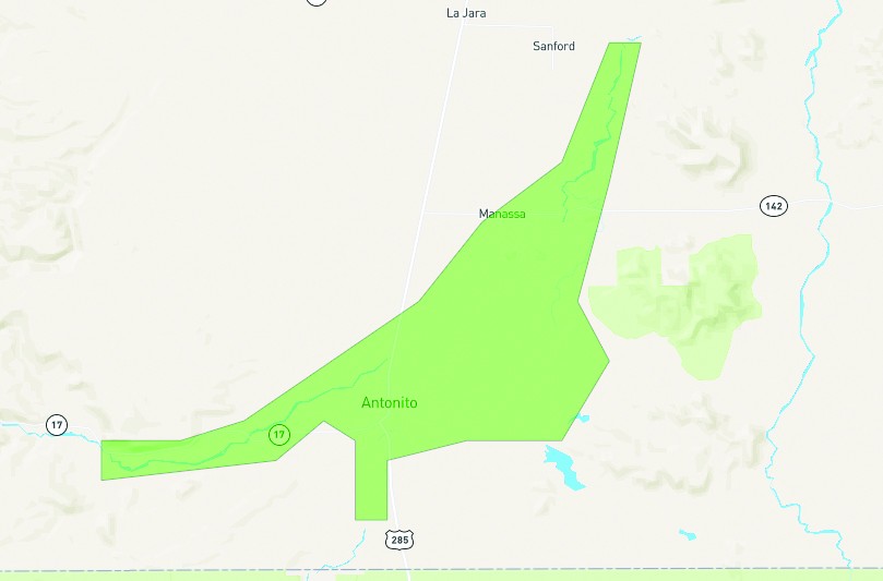
The Colorado Wildfire Information Center (CWIC) released a map of possible flooding in Conejos County, that includes along the San Antonio and Conejos Rivers. It reports that minor flooding is expected to continue for the next few days as warm temps continue to accelerate snowmelt. Locations that will experience flooding include Manassa, Antonito, Conejos and Ortiz.”
NWS stated that with warm temperatures, snowmelt in the high country has resulted in fast water in various creeks and rivers and that “snowmelt will keep mountain streams and rivers running high through the week.” However, heavy rainfall could “exacerbate already swollen creeks and streams.” Snowmelt will ramp up again for Friday and into the weekend.