
Plan your next road trip along scenic and historic byways


STATEWIDE — A new partnership between the Colorado Byways Program and MyScenicDrives.com is offering a new way to explore Colorado’s 26 Scenic and Historic Byways – just in time for the summer season.
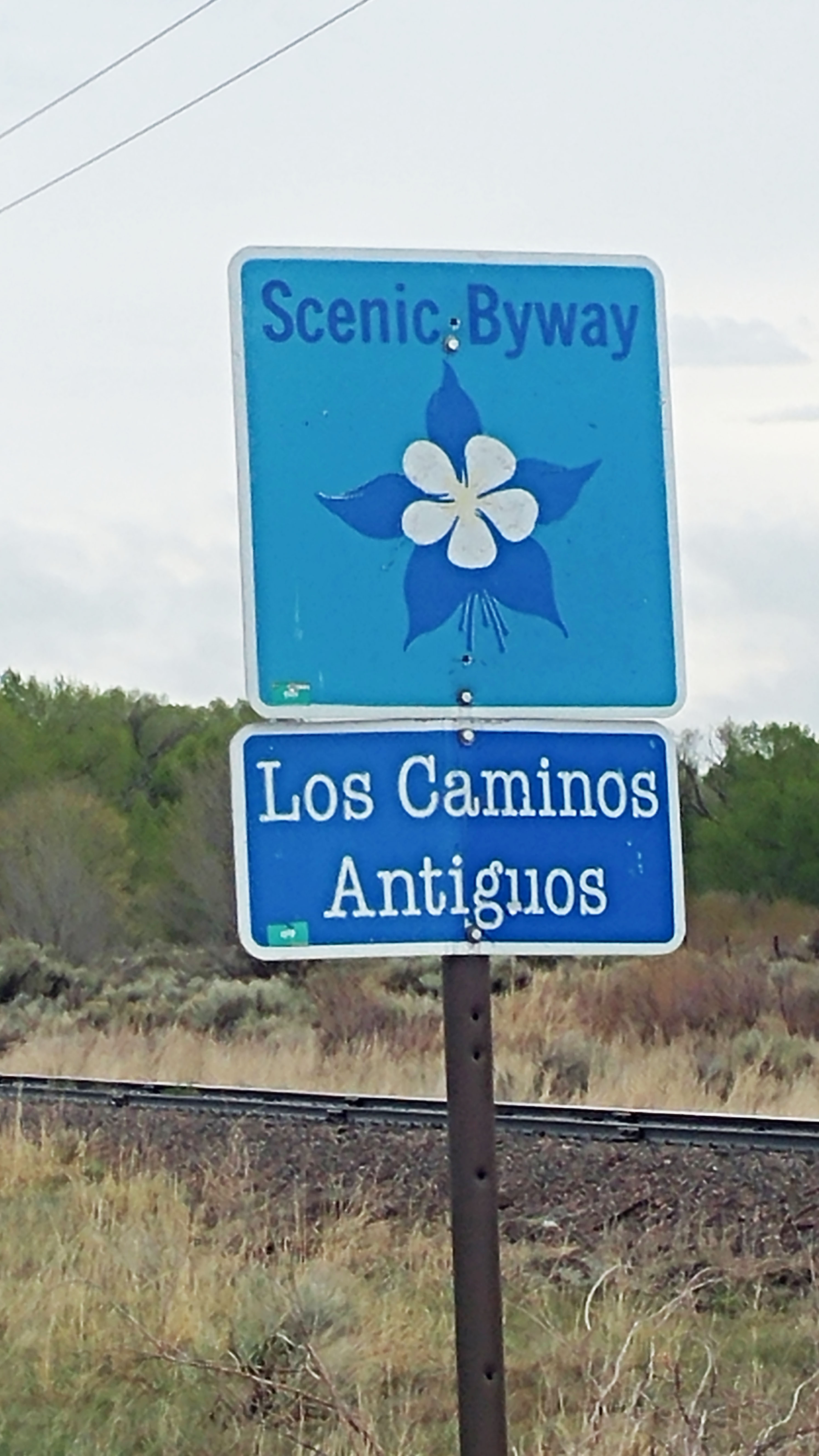
MyScenicDrives.com provides detailed information about Colorado’s system of 26 spectacular touring routes – 2,565 miles – throughout the state. MyScenicDrives.com includes features that showcase electrical vehicle charging stations, visitor amenities and a road-trip planner that can be printed or exported to a GPS device. Here is the link for specific information on Los Caminos Antiguos https://www.myscenicdrives.com/drives/colorado/los-caminos-antigous.
Additionally, the Colorado Department of Transportation (CDOT) furnishes a free Bicycling and Scenic Byways map that is available at Colorado Welcome Centers or by mail upon request. CDOT also provides online bicycle route maps at https://www.codot.gov/programs/bikeped/information-for-bicyclists/colorado-bicycling-maps. The Colorado Byways program web site includes a resources page with additional tourism materials, and wayfinding information.
“We encourage visitors and residents alike to take advantage of these free resources and explore Colorado’s byways,” said Colorado Scenic Byways coordinator Lenore Bates. “Whether you are an outdoor enthusiast, history buff, nature lover, tourist or conservationist, Colorado’s byways provide a “wow” factor that can’t be denied.”
Los Caminos Antiguos is located within Alamosa, Costilla, and Conejos Counties and provides access to The Great Sand Dunes National Park and Preserve, the historic town of San Luis, Stations of the Cross Shrine, the Cumbres and Toltec Scenic Railroad, Colorado’s oldest church in Conejos, and many other natural and historic sites.
The byways throughout the state are located in 48 of Colorado’s 65 counties and provide access to eight National Forests and two National Grasslands; eight National Monuments; two National Historic Sites; two National Heritage Areas; two National Wildlife Refuges; two National Recreation Areas; 13 National Recreation Trails; and four National Parks—Black Canyon of the Gunnison, Great Sand Dunes, Mesa Verde (a World Heritage Site) and Rocky Mountain National Park.
Frontier Pathways Scenic and Historic Byway is the local Byway that travels 103 miles from Pueblo on SH96 to Westcliffe and Silver Cliff and on SH165 through San Isabel to Rye and Colorado City. Frontier pathways is also designated an America’s Byway. www.frontierpathways.com
Twenty-three state parks are located on a Colorado Byway, and byways connect hundreds of thousands of acres of Forest Service, BLM lands and state wildlife areas. The CDOT-administered program is widely recognized as the strongest in the nation with 11 byways awarded the national designation of America’s Byways®, more than any another state.
In 2014, 3,010,000 visitors to Colorado accessed the state’s well-known scenic beauty, historical sites and recreational areas through “touring trips,” the second-highest activity after “outdoor trips” (3,220,000) among Colorado’s “core ‘marketable’ overnight travel segments.” (Marketable trips are those most subject to influence by marketing and promotion.) Two-thirds of touring travelers come from outside Colorado.
“The tourism generated by Colorado’s byways is often the key supporting financial source to many of our historic designated sites as well as to the local businesses along the byways,” said Bates. “Exploring the byways is a great way to support small businesses and communities along the byways.”
Recently released, the Colorado Scenic and Historic Byways Strategic Plan outlines additional innovative ways the Commission is working to advance Colorado’s byways. The plan highlights tactics and strategies related to the plan’s main three goals for the byways:
- Maintain a State Byways system that is second to none.
- Elevate the Colorado Byways system to become an important state asset for economic development and livability.
- Ensure that each local byway is a fully functioning part of an excellent statewide system.
“The commission is working to ensure our byways have the support they need to continue the great work they do across the state. It’s clear the byways program is critical to so many people and communities across the state,” said Colorado Scenic and Historic Byways Commission chair Amanda Hill.
For more information about Colorado’s Scenic and Historic Byways, visit www.ColoradoByways.org.
For more information about Los Caminos Scenic and Historic Byway request a brochure from the Sangre de Cristo National Heritage Area [email protected]
Los Caminos Scenic and Historic Byway is overseen by the Sangre de Cristo National Heritage Area and is a partnership with the Colorado Scenic and Historic Byways program. This statewide partnership is intended to provide recreational, educational and economic benefits to Coloradans and visitors. This system of outstanding tourism routes in Colorado affords the traveler interpretation and identification of key points of interest and services while providing for the protection of significant resources. Scenic and Historic Byways are nominated for their exceptional scenic, historic, cultural, recreational and natural features.