
MOSCA — The National Park Service plans to burn several piles of wood debris at Great Sand Dunes National Park and Preserve with assistance from the U.S. Forest Service Rio Grande National Forest starting on Monday, Jan. 23. The piles will only be burned if the ground and adjacent fuels are sufficiently wet from rain or snow, and these wet conditions are present until the burning is completed.
The piles consist of dead wood material from previous hazard fuels reduction projects. This project reduces fuels around park infrastructure and park boundaries directly adjacent to the private land since this fuel load represents a wildland fire hazard within these areas, officials stated. The project will reduce the threat of fire to private homes and help protect the plants, wildlife, and important resources in the park.
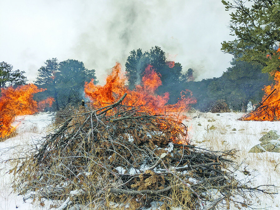
The piles will be ignited by firefighters and monitored until they are completely out, which may occur over the course of five days. Area residents and park visitors may see open flames and or smell smoke in the vicinity of the park during the burn.
Prescribed fire smoke may affect your health. For more information, see www.colorado.gov/pacific/cdphe/wood-smoke-and-health.
For more information on the National Park Service Wildland Fire Management Program, visit www.nps.gov/fire. To learn how you can reduce wildfire risk on your own property, visit www.firewise.org. For information about the National Park, visit www.nps.gov/grsa.
For more information regarding the prescribed burn, contact Chief Ranger, Dale Culver at 719-588-2014.


